Advanced Geospatial Intelligence for Smarter Decisions
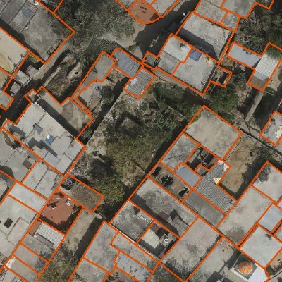
Accurate 2D maps representing terrain, infrastructure, and land features using high-resolution spatial data. Ideal for planning, analysis, and visualization of geographic information.
Detailed mapping of underground and overground utilities such as water, sewer, power, gas, and telecom lines. Helps in safe excavation, asset management, and infrastructure planning.
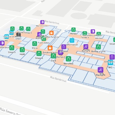
High-precision mapping of indoor spaces such as buildings, malls, airports, and campuses. Enables navigation, space management, and smart facility planning.

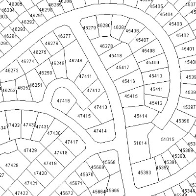
Accurate mapping of land parcels, boundaries, and ownership details. Essential for land administration, legal documentation, and property management.
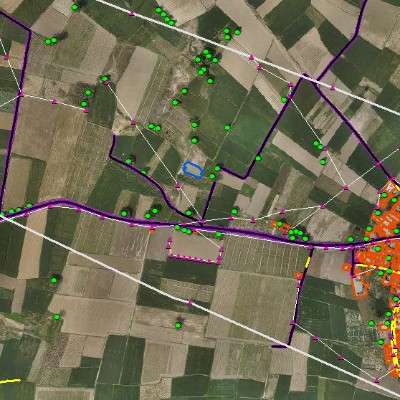
Identification and mapping of important locations like schools, hospitals, landmarks, and businesses. Enhances location intelligence, navigation, and spatial analysis.